01
PostGIS Spatial Database Design
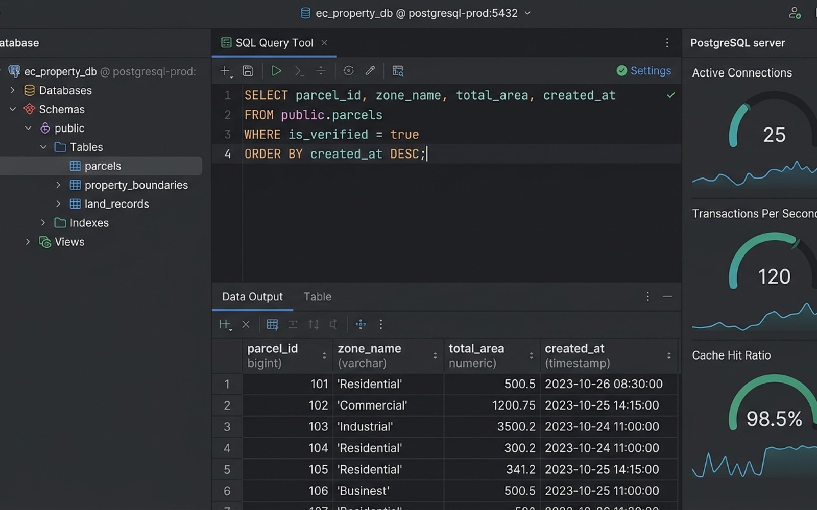
Configured PostgreSQL with PostGIS geometry types and spatial indexing (GIST) to make boundary lookups and polygon intersection queries fast.
A spatial mapping system that helps municipal teams upload land records, view boundaries, and run area queries on interactive maps.
Handling complex polygon coordinate files without slowing down database queries.
Validating uploaded boundary files to catch overlapping lines or incorrect coordinate systems.
Giving non-technical government staff a clear web map interface to inspect property limits.
Configured PostgreSQL with PostGIS geometry types and spatial indexing (GIST) to make boundary lookups and polygon intersection queries fast.
Built Node.js API endpoints to accept Shapefiles and GeoJSON data, validating coordinate projections before saving.
Created API queries that calculate exact property square footage and check for boundary conflicts with nearby plots.
Reach out with your technical requirements or timeline for a rapid architecture audit.
Whether starting a new project or scaling an existing architecture, send your requirements below for a direct review.